
Lower Yakima River
The “Lower Yakima” is the section of the Yakima River that runs from Union Gap to the confluence with the Columbia River.

Cold Water Refuge
Cool water is in short supply in the lower Yakima River, and cool water (68 ˚F or colder) is required by species like Sockeye and summer Chinook as they finish their already perilous journey to their spawning grounds. The Lower Yakima River, from Prosser to the Tri-Cities, typically exceeds this temperature from June through August of each year.

Water Stargrass Project
In the lower Yakima River, a lack of scouring spring floods, low summer flows, and abundant nutrients have created favorable conditions for an aquatic native plant, water stargrass, to become much more prevalent. Mid-Columbia Fisheries is collaborating with Benton County Conservation District to develop an emergency drought-response plan to remove water stargrass from key fish habitats during drought years, spanning from below Prosser Dam to the confluence with the Columbia River.

Yakima River Delta Restoration
Over the past several years, efforts have been made to improve fisheries, habitat, and water quality in the Yakima Basin. Continuing this work depends on helping salmon and steelhead pass beyond Bateman Island, which is located at the mouth of the Yakima Delta, where the Yakima and Columbia rivers meet. The barrier there, along with its effects on water quality and non-native predators, significantly harms migrating salmonids and other native fish species.

Yakima River Project Development
Efforts are underway to restore habitat in the Yakima River below Union Gap. This stretch is a vital migration route for all salmon and steelhead in the basin and offers essential spawning and rearing habitat for summer and fall Chinook. The goal is to identify, develop, and implement restoration projects that enhance this important part of the Yakima. In 2018, Mid-Columbia Fisheries Enhancement Group collaborated with landowners and local, state, and regional partners to pinpoint key restoration efforts in the Wapato Reach, a 50-mile section of river between Union Gap and Mabton, and is continuing to develop and set priorities further downstream.
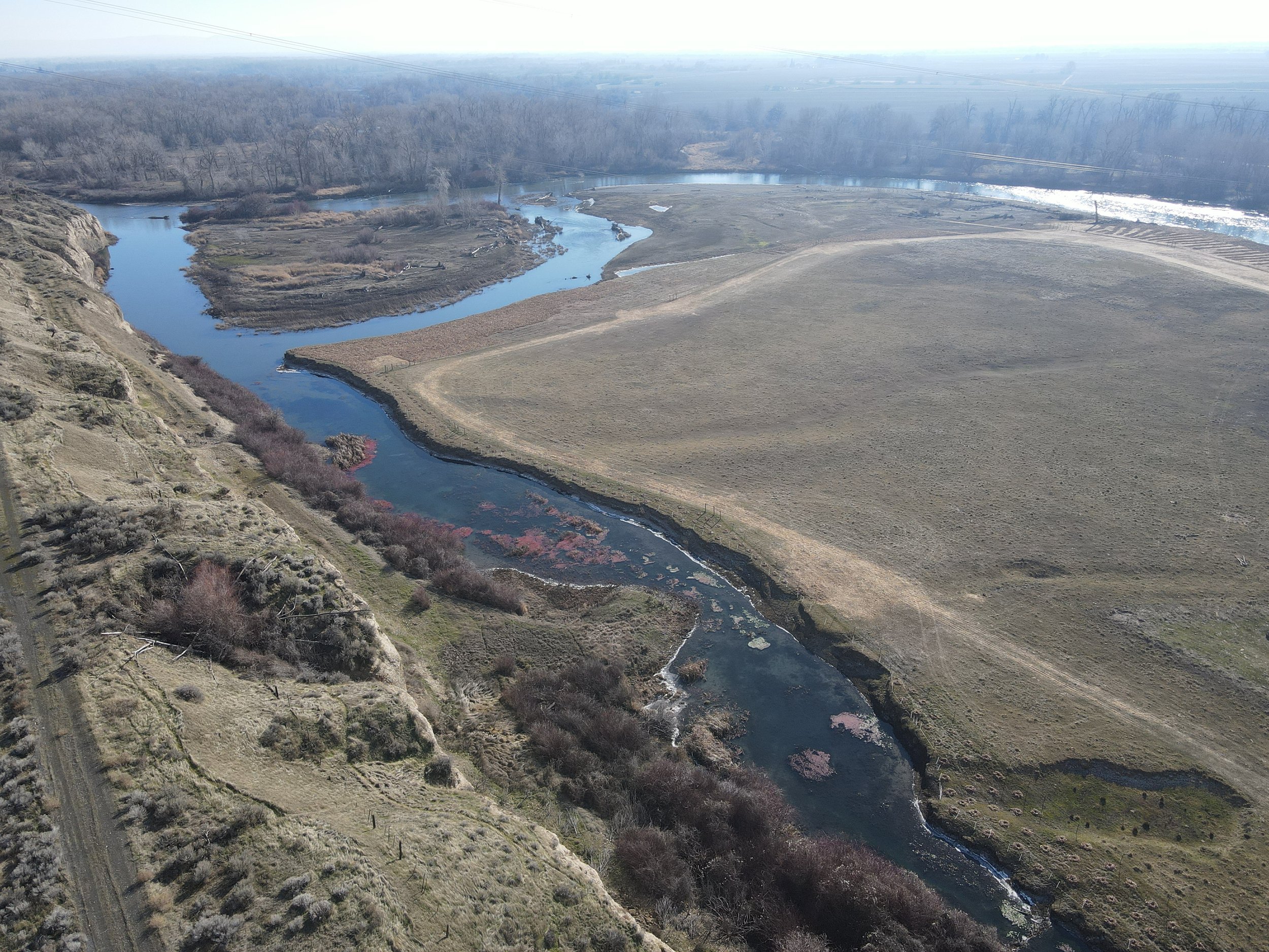
Yakima River Mile 25 Restoration
The Yakima River Mile 25 Thermal Refuge project is focused on increasing the cool water influence of a disconnected oxbow on the left bank of the Yakima River near Benton City. The goal of the project is to provide a refuge area for migrating adults and improve rearing conditions for juvenile salmonids. This project, coupled with several other in-development projects downstream of this location, will capitalize on critical sources of cool water in this very hot portion of the Yakima River. This project is made possible through the generosity of a volunteer landowner.

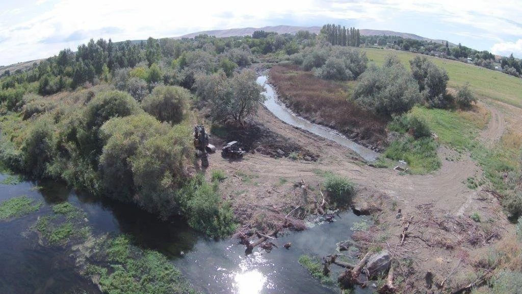
Yakima River Mile 80 Reforestation
A thermal anomaly exists at RM80, MCF replanted 12 across this thermal alcove, spring feature, and along the mainstem Yakima River. This reforestation project converts agricultural pasture back into a riparian forest.